Welcome to GeoDay Raseborg 2025
The wonderful world of spatial information
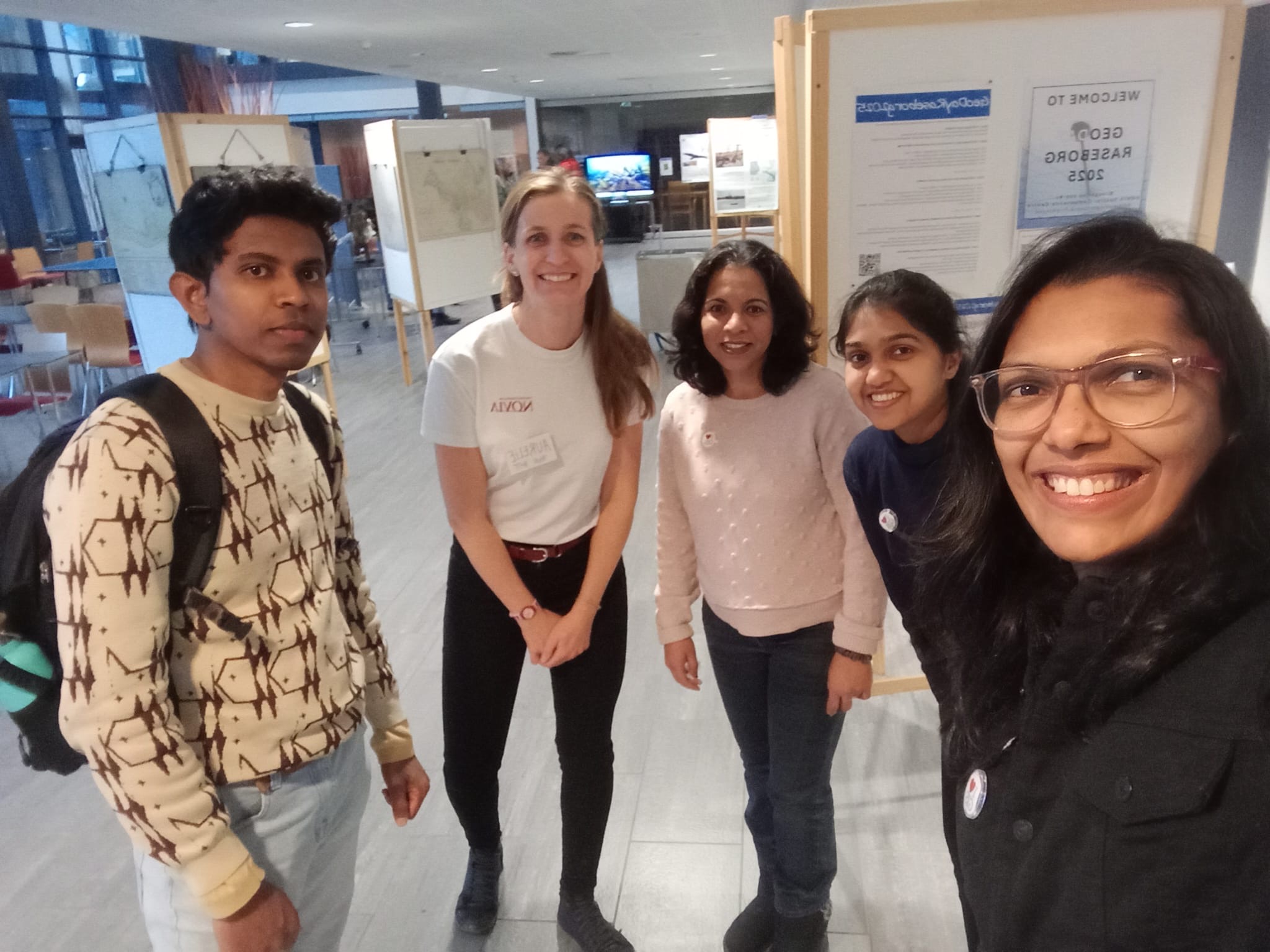
THANK YOU!
The GeoDay was a success!
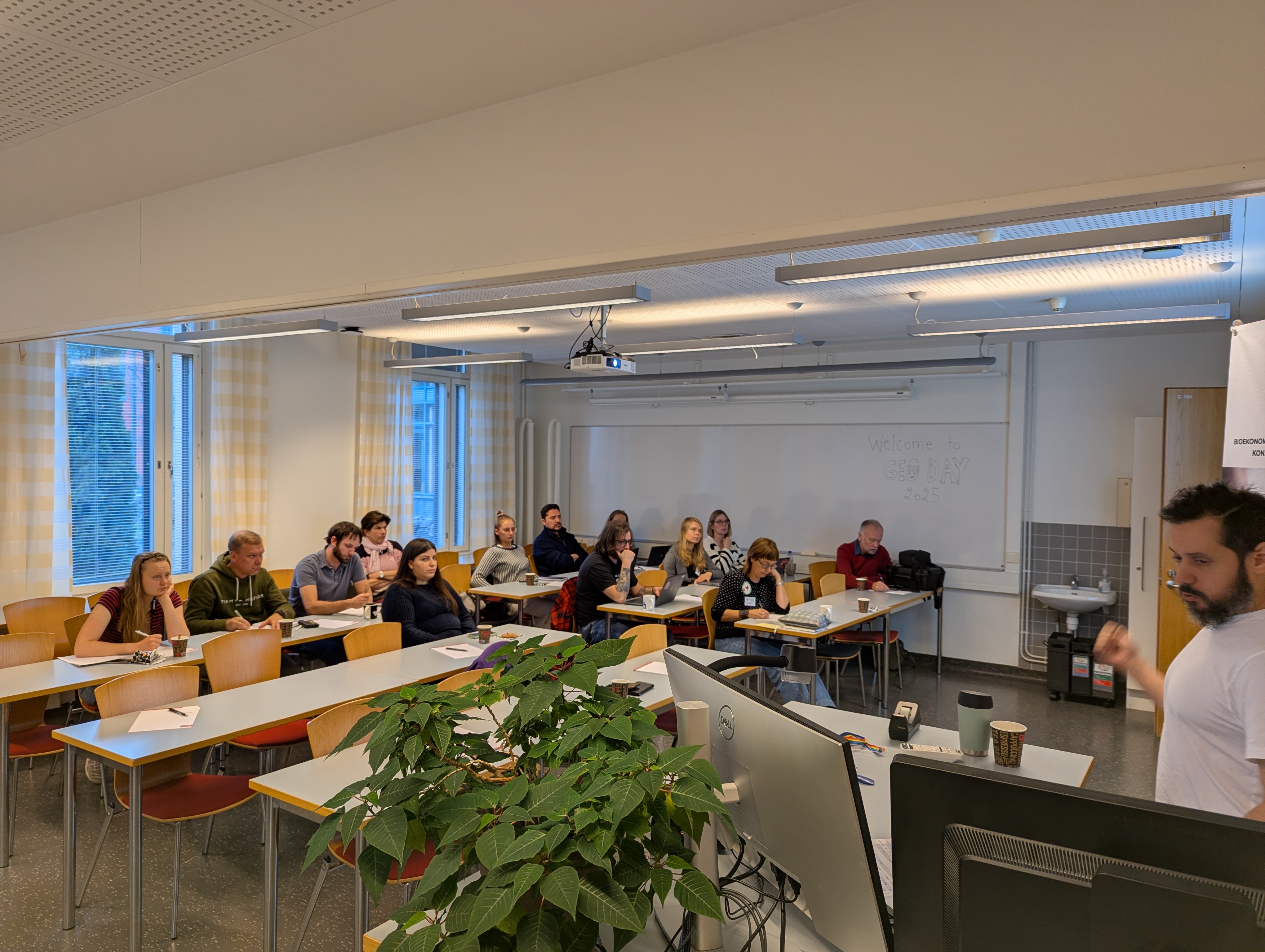
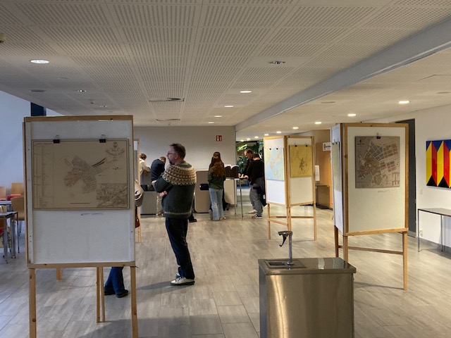
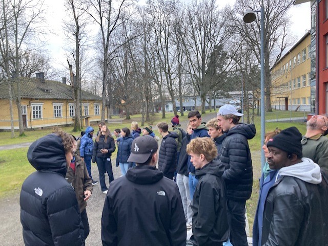
We had 33 participants online and 32 on site in the morning session, 19 in our students seminar and 45 in our hands-on session! Additionally to our presenters notably from GISPO, LUKE, SYKE, NLS, Novia UAS and even Royal Danish Academy, we had visitors from Nylands Svenska Lantbrukssällskap, Raseborg Energi, Raseborg Stad and students from Hangö and Ekenäs gymnasium (with teachers Axel Holmberg and Johanna von Frenckell). Also a big thank you to Västra Nyland museum and Lena Dahlberg for lending us the old maps of Ekenäs
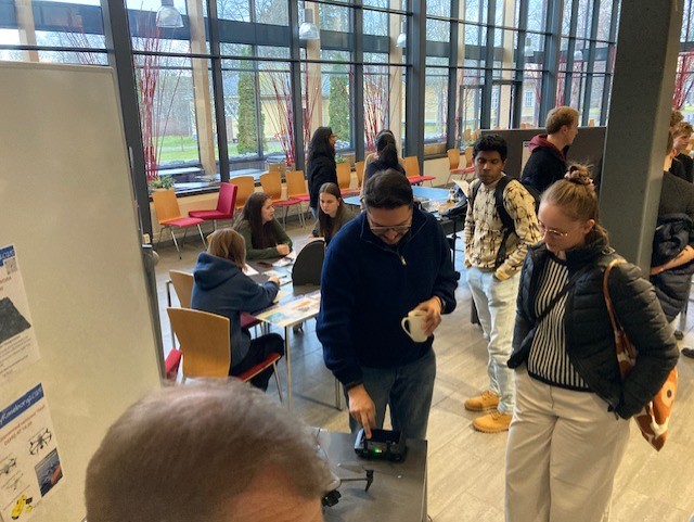
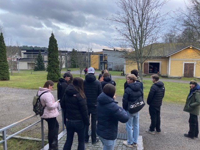
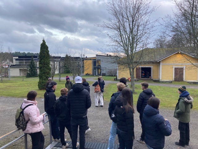
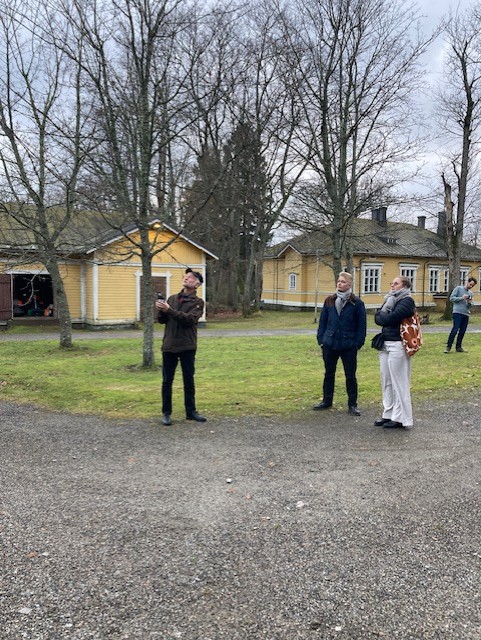
Gallery
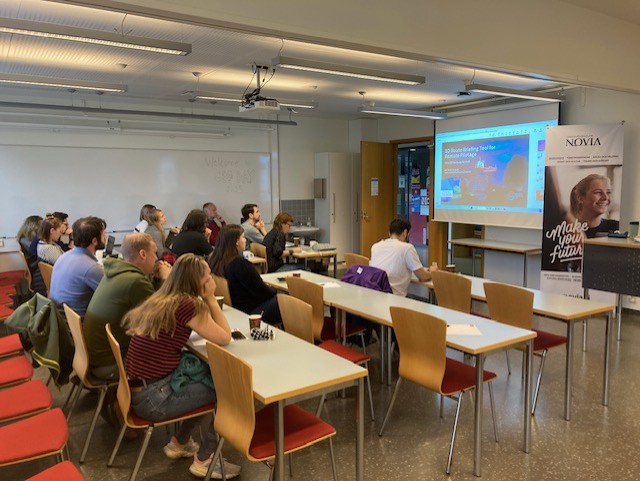
Morning session
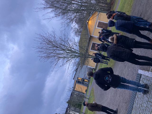
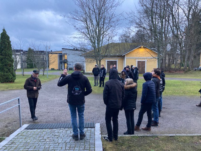
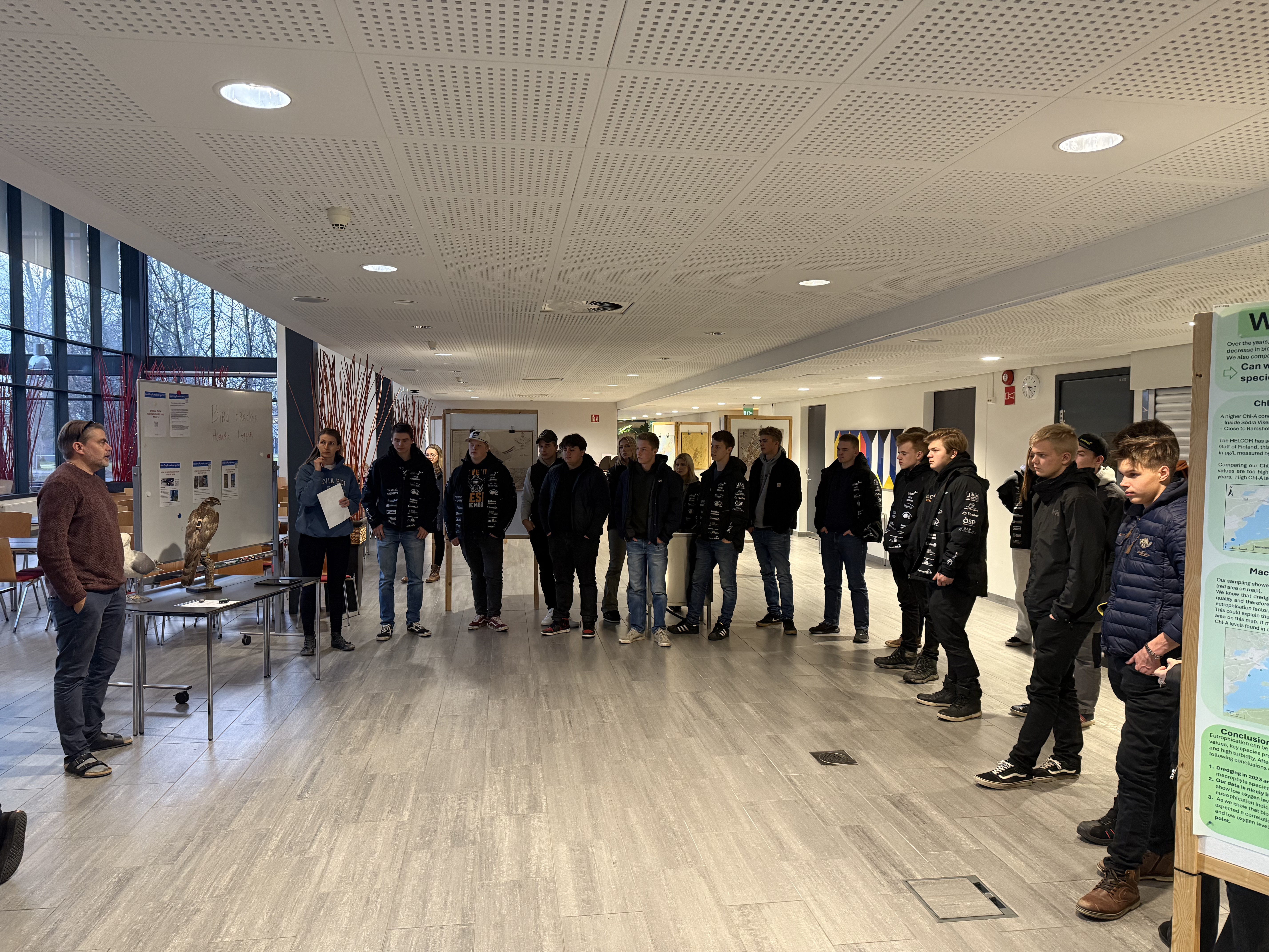
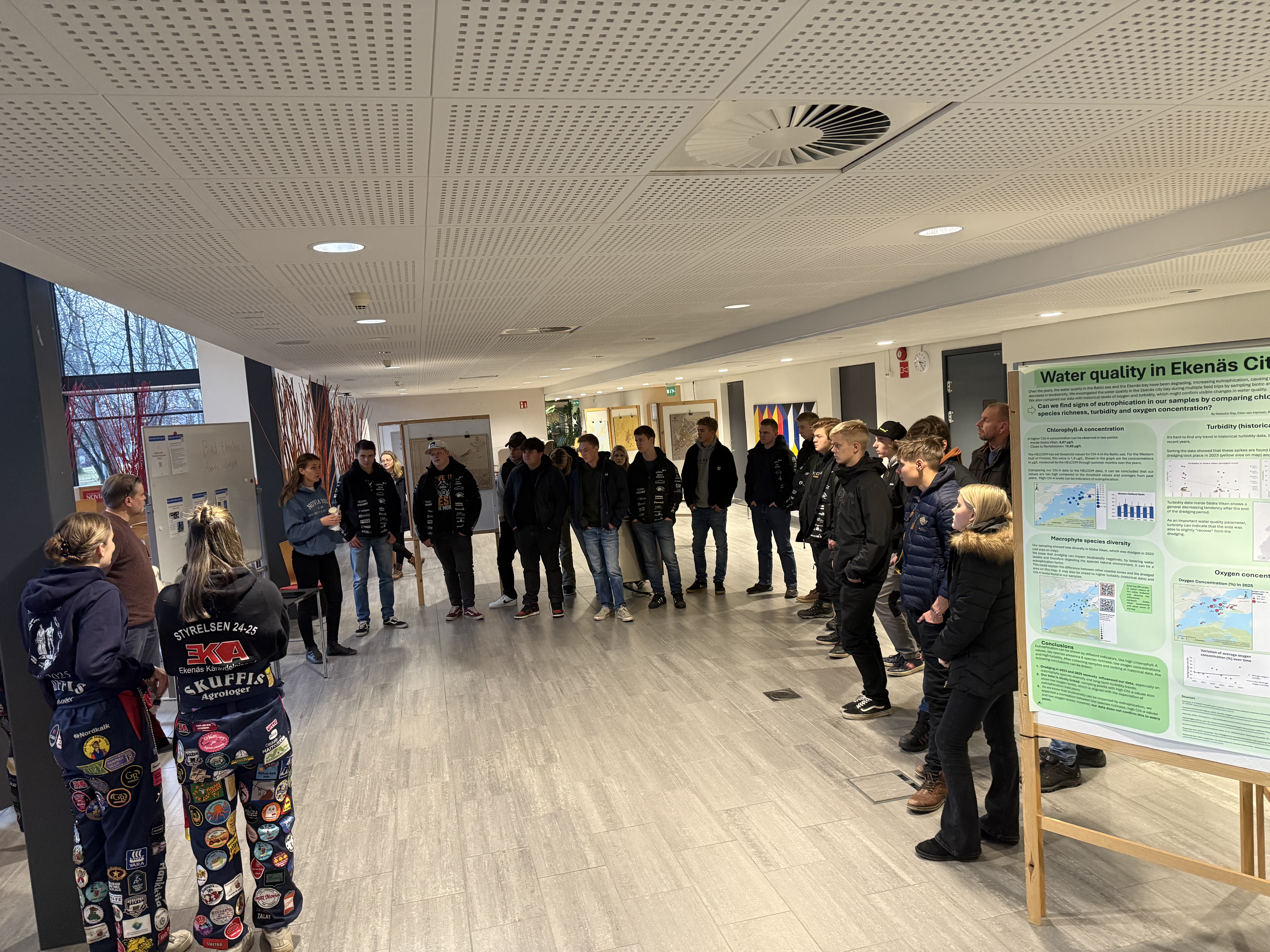
Students seminar
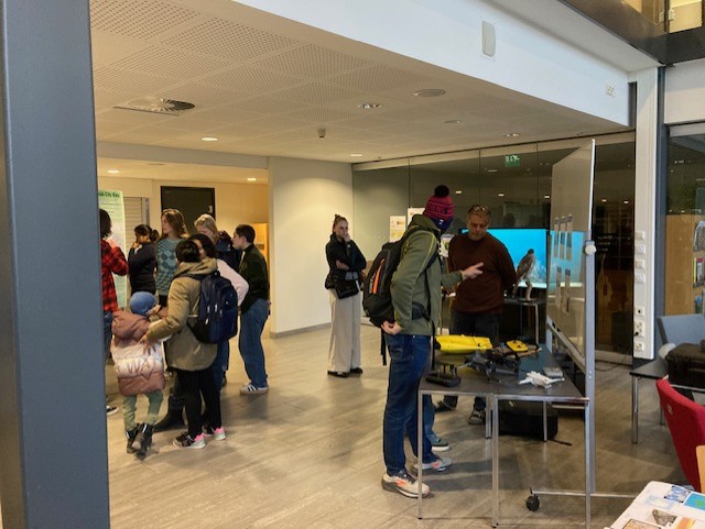
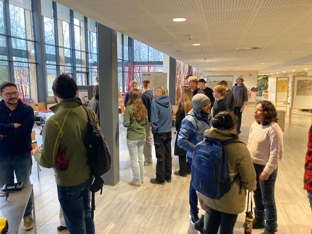
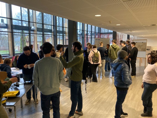
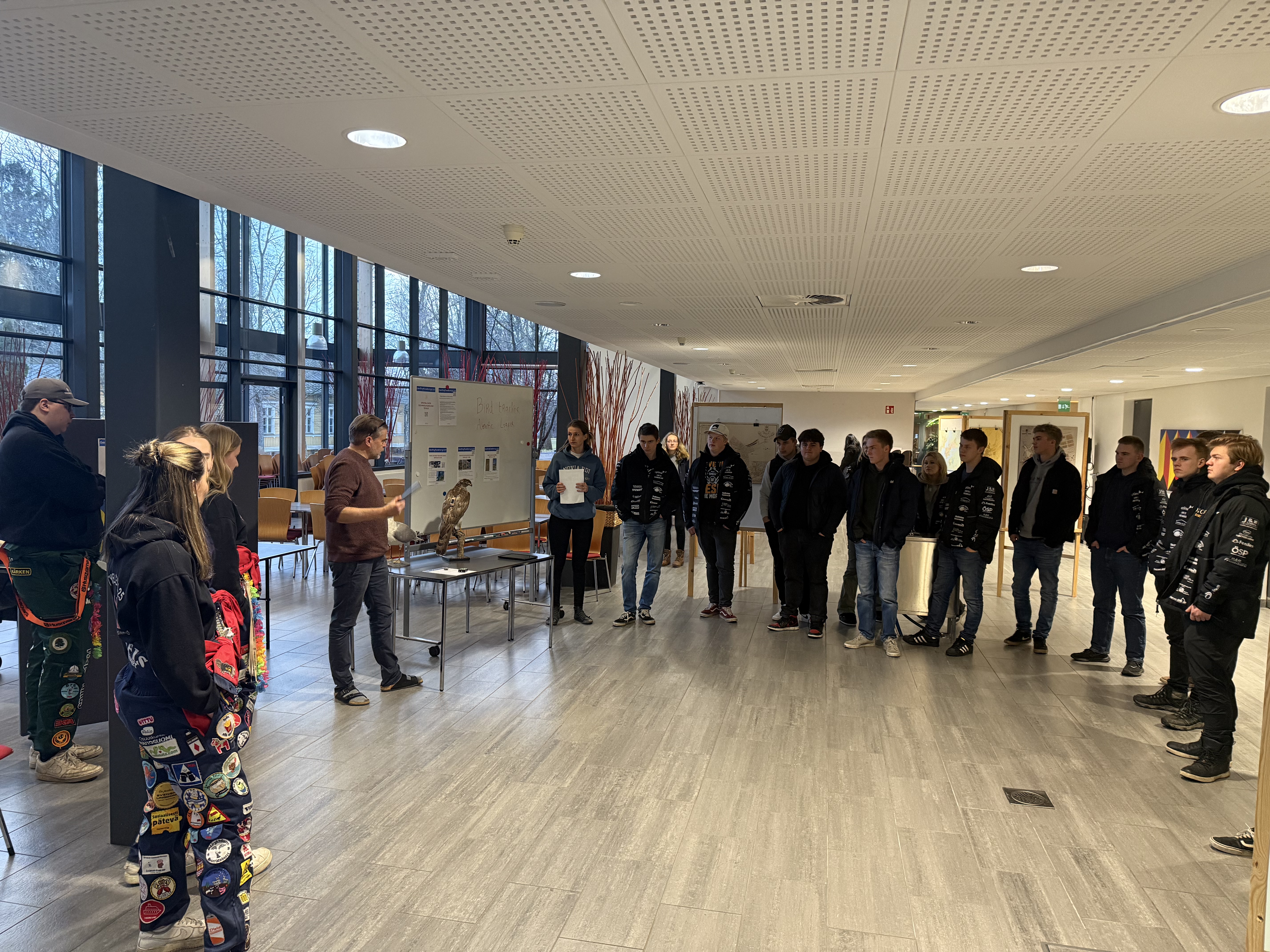
Hands-on


Practicalities
20.11.2025
Novia University of Applied Sciences on campus Raseborg (car parking on site or via VR Karjaa-Tammisaari with 7.42 - 16.07 trains)
Come for the program, stay for the people (also the event is free and coffee included!)
Spatial data are now collected by anyone, from anywhere, in real time, shared to the world via social media and cloud services and used almost instantaneously by anybody else. This creates a plethora of opportunities such as virtual reality and the building of digital twins designing an entire space from the comfort of your chair, or automation of tasks with artificial intelligence deciding where and when to seed your oat field in the spring. But it also brings challenges linked to privacy and ethical guidelines, as we now can be anywhere and see everything through others that share anything, all the time - what can be trusted? In August 2025, Tim Walz, Governor for the State of Minnesota, USA mentioned during a plenary session about effective governance - “You (decision-makers) are creating change in a massive way” – “We have got to get the literacy on geographic and GIS out to the broader public so that we can make sure that that (effective governance) happens.” Spreading awareness of the power held by spatial data is our responsibility and it concerns all of us in order to be resilient partners in the not-so-far future.
This event is part of a global initiative (ESRI GIS DAY) for spatial literacy.
Learn about the numerous spatial data applications and geographic information system (GIS) during the hybrid GeoDay organized by Novia spatial competence centre.
Preliminary program
- 8.30 - Start of the day
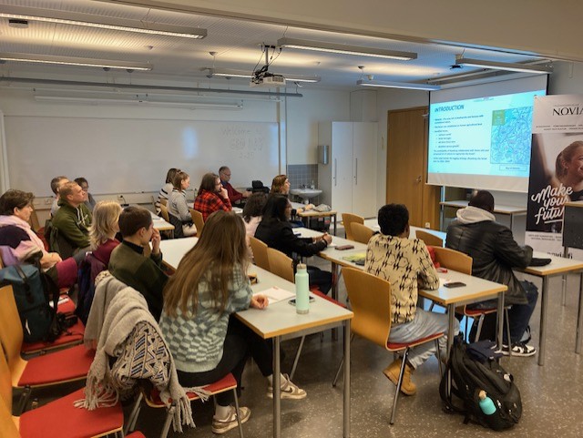
08:45 - 12:00 Guest talks in English
Welcoming address by Marianne Fred, Head of Research in bioeconomy
Introduction of the Spatial Competence Centre by Aurelie Noel, Geospatial systems team leader
09:00 - 10:20 Spatial data in environment and construction engineering
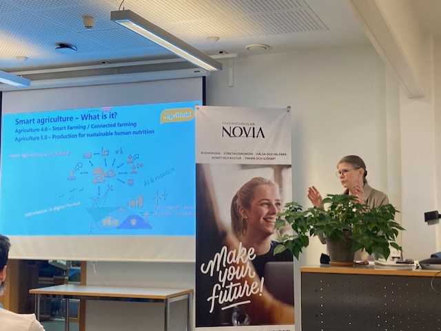
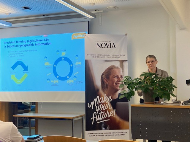
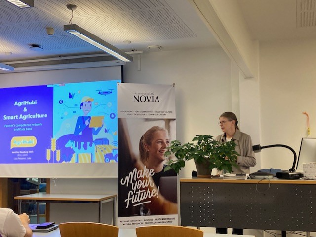
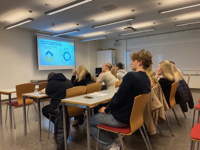
- 9:00 - Smart farming and AgriHubi with Liisa Pesonen - LUKE (on site)
- 9:15 - Tech-forestry with Romi Rancken - Novia UAS (on site)
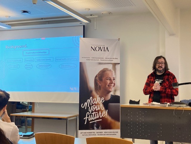
- 9:30 - Enhancing understanding: the role of spatial data as a tool in bridging environment and society with Ruslan Gunko - Novia UAS (on site)
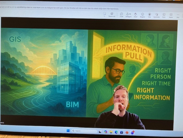
- 9:45 - Building information modelling (BIM) with Anders Hermund - Royal Danish Academy (online)
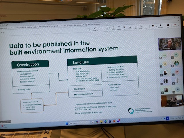
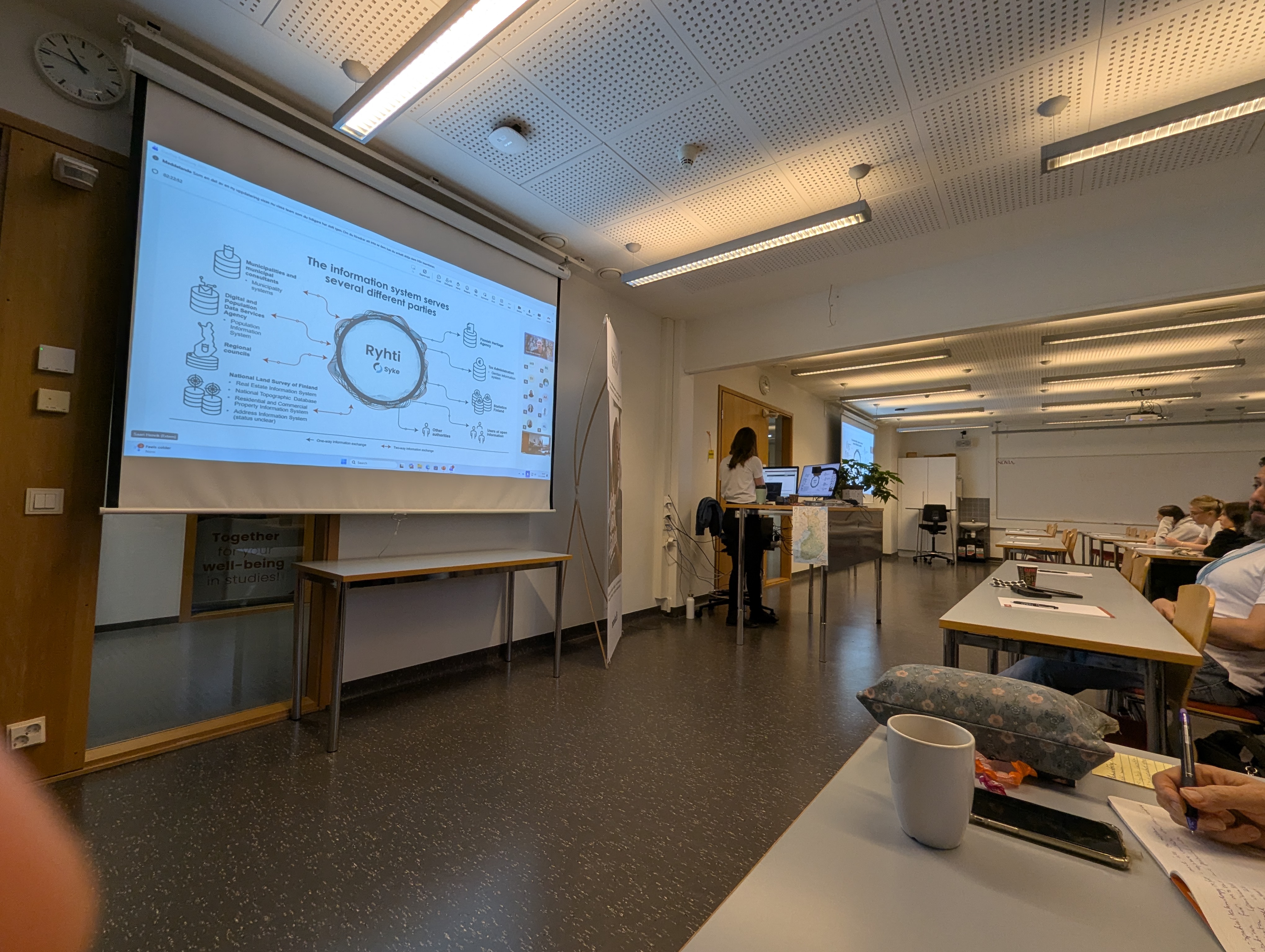
- 10:00 - Built environment information system (Ryhti) with Henrik Saari - SYKE (online)
10:20 - 10:40 Coffee break
10:45 - 12:00 Spatial data in seafaring, art, consulting, education, national security
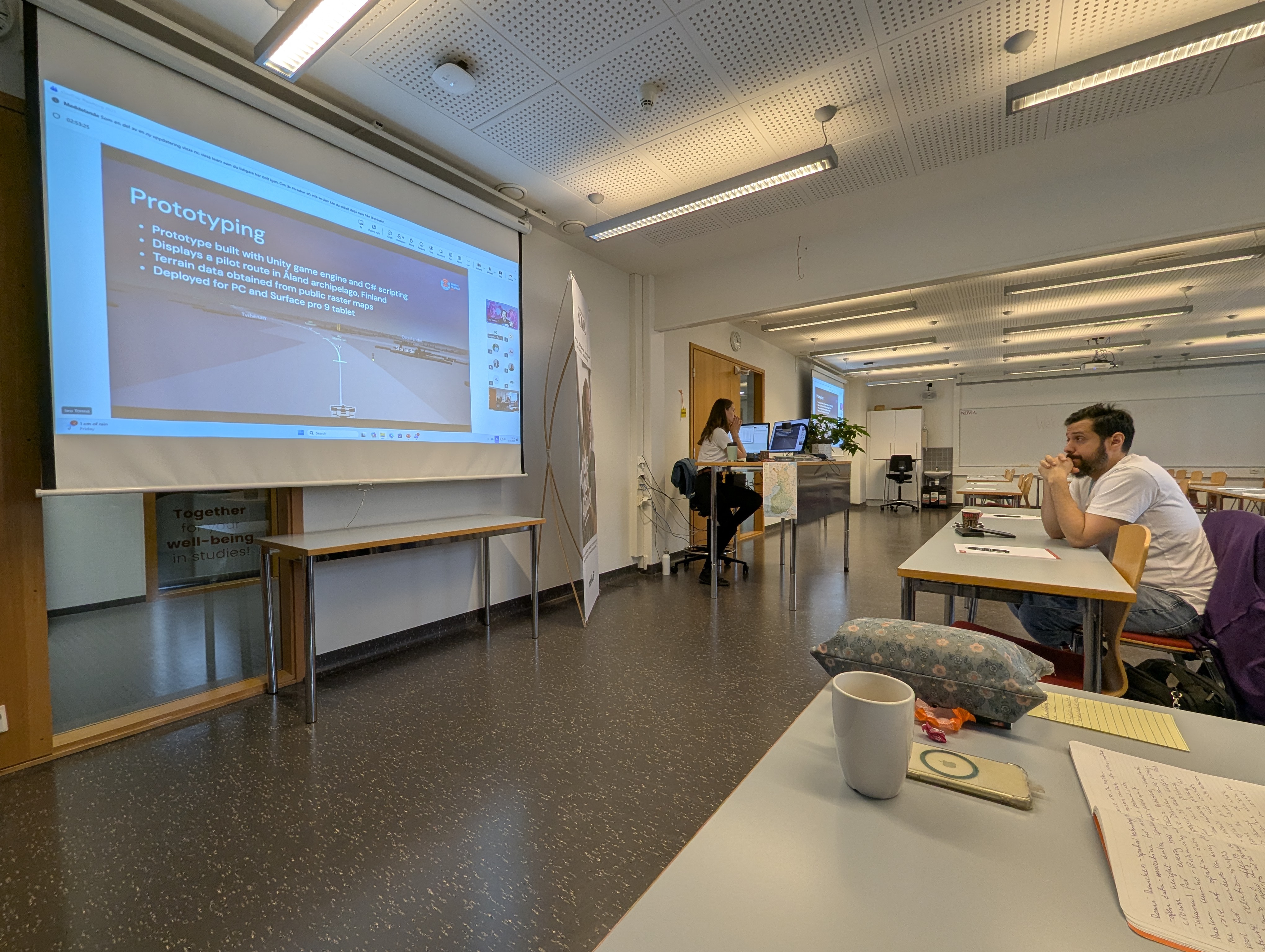
- 10:45 - 3D briefing tool for seafaring with Iiro Törmä - Novia UAS (online)
- 11:00 - Augmented reality with Tobias Björkskog - Novia UAS - Korsholmar AR (online)
- 11:15 - Consulting with Emil Ehnström - GISPO (online)
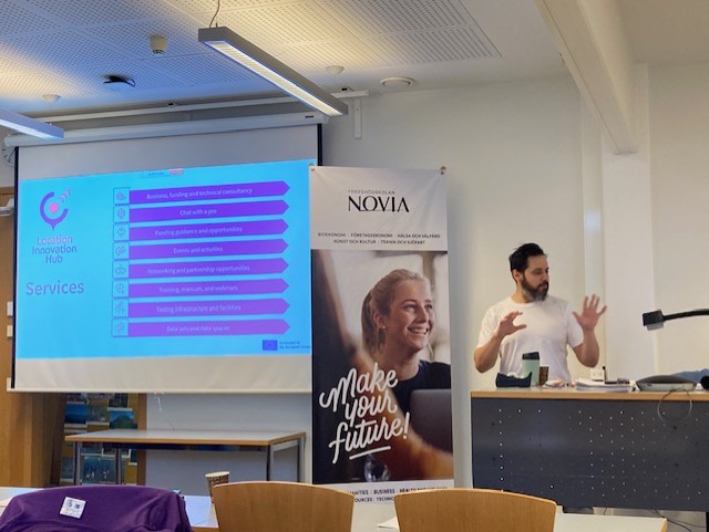
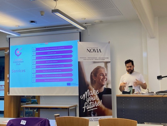
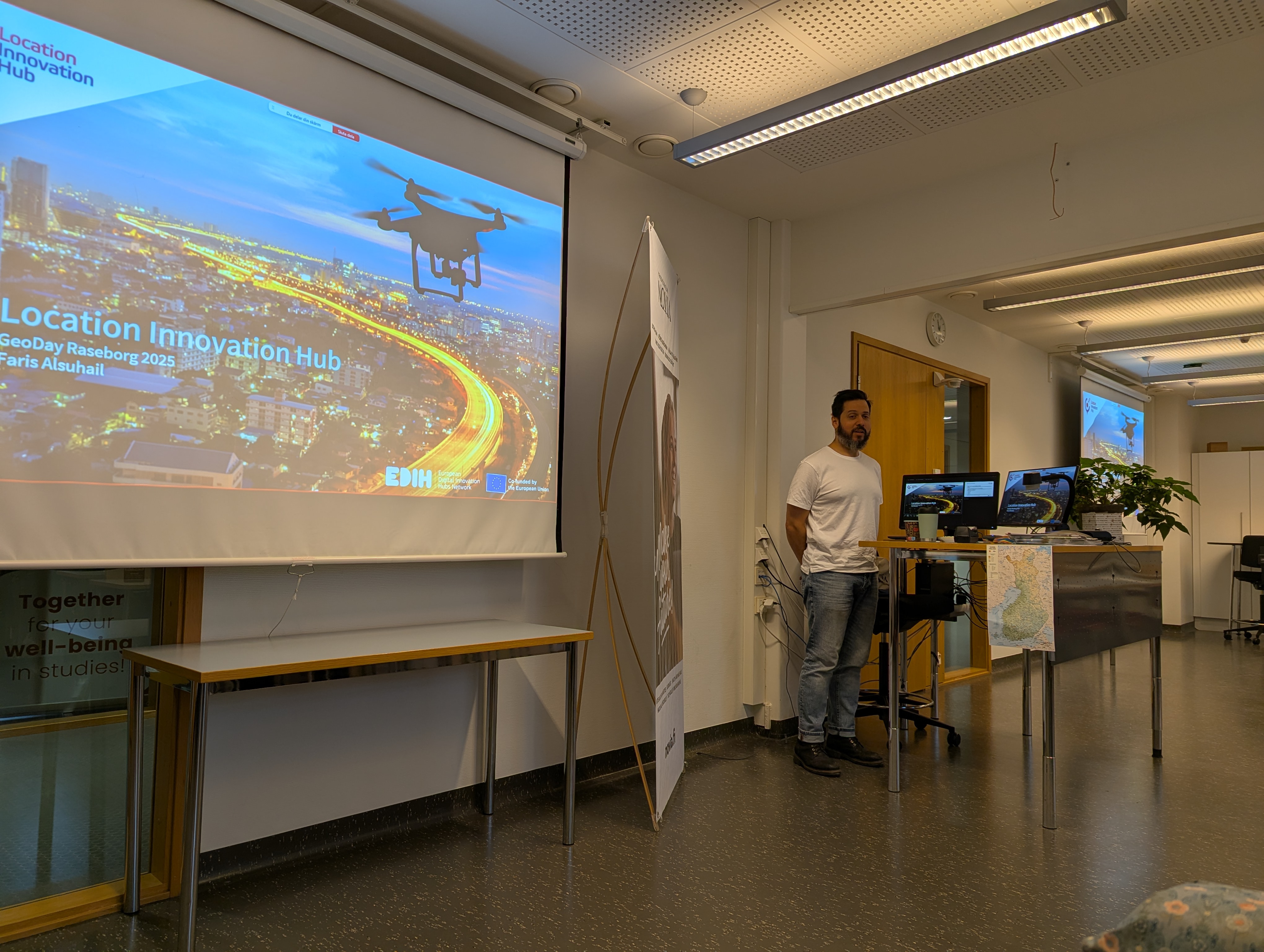
- 11:30 - Location Innovation Hub with Faris Alsuhail - National Land Survey - LIH (on site)
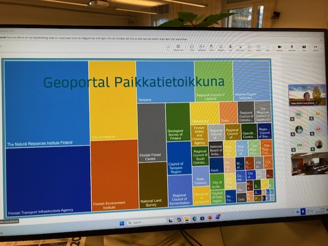
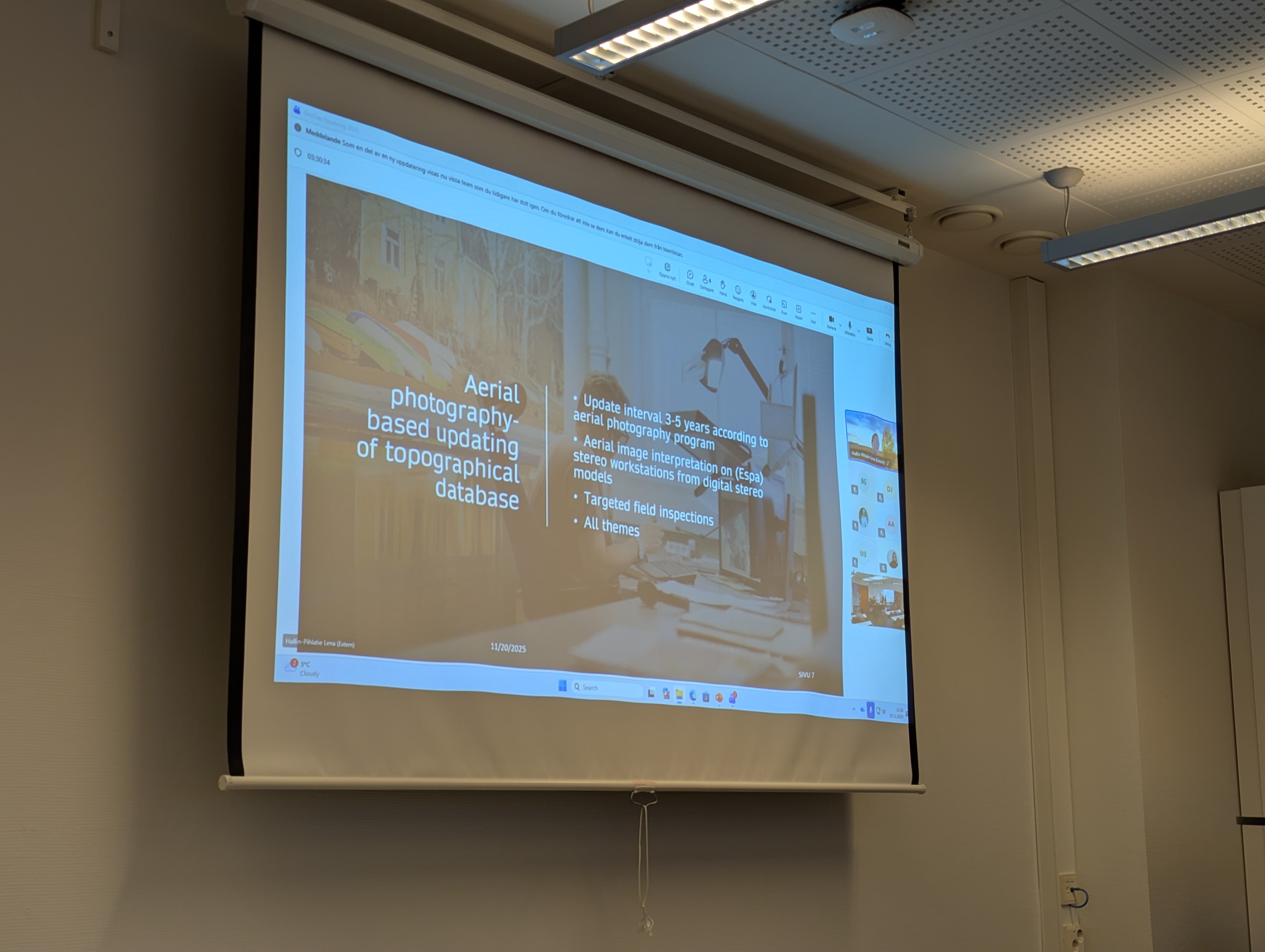
- 11:45 - Spatial data production and information services of National Land Survey of Finland (NLS-FI) with Lena Hallin-Pihlatie - National Land Survey (online)
12:00 - 13:00 Lunch break
(NOT INCLUDED but great places near-by: Villa Smakhus, Rastachef or Cafferie)
13:00 - 14:00 Geospatial systems students seminar in English
- 13:00 - Aurelie Noel - Opening talk - Geospatial systems team leader and presentation of the SCC
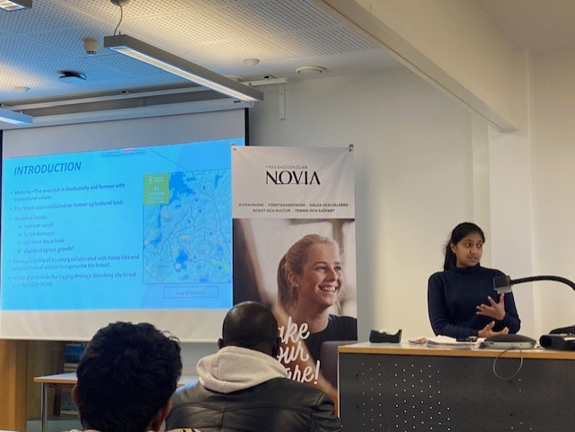
- 13:10 - Senuri Ambagalage - Environmental monitoring with bird surveys - Bachelor student in Sustainable Coastal Management
- 13:25 - Andreas Otterbeck - GPS tracking of Caspian terns - Researcher (online)
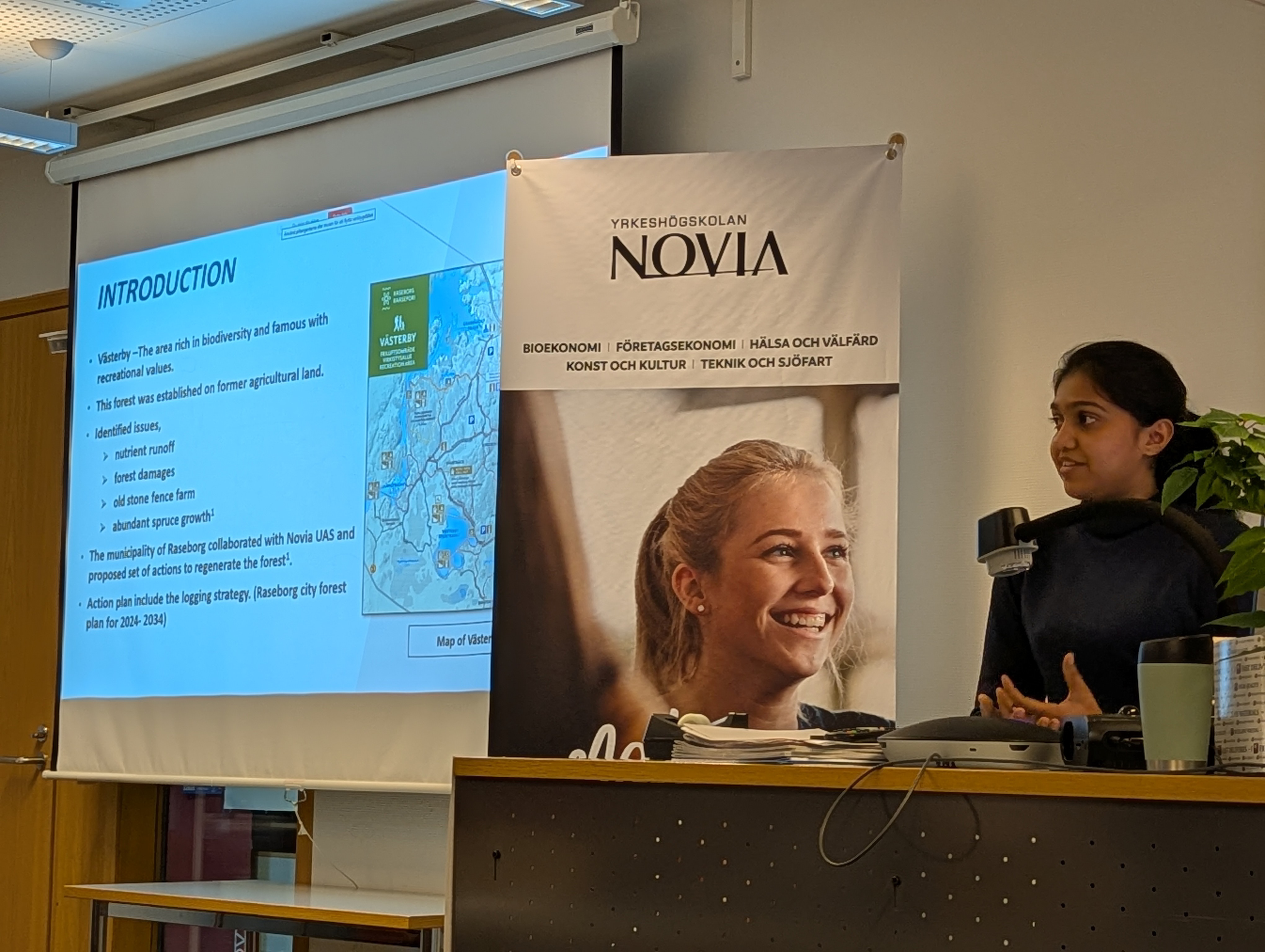
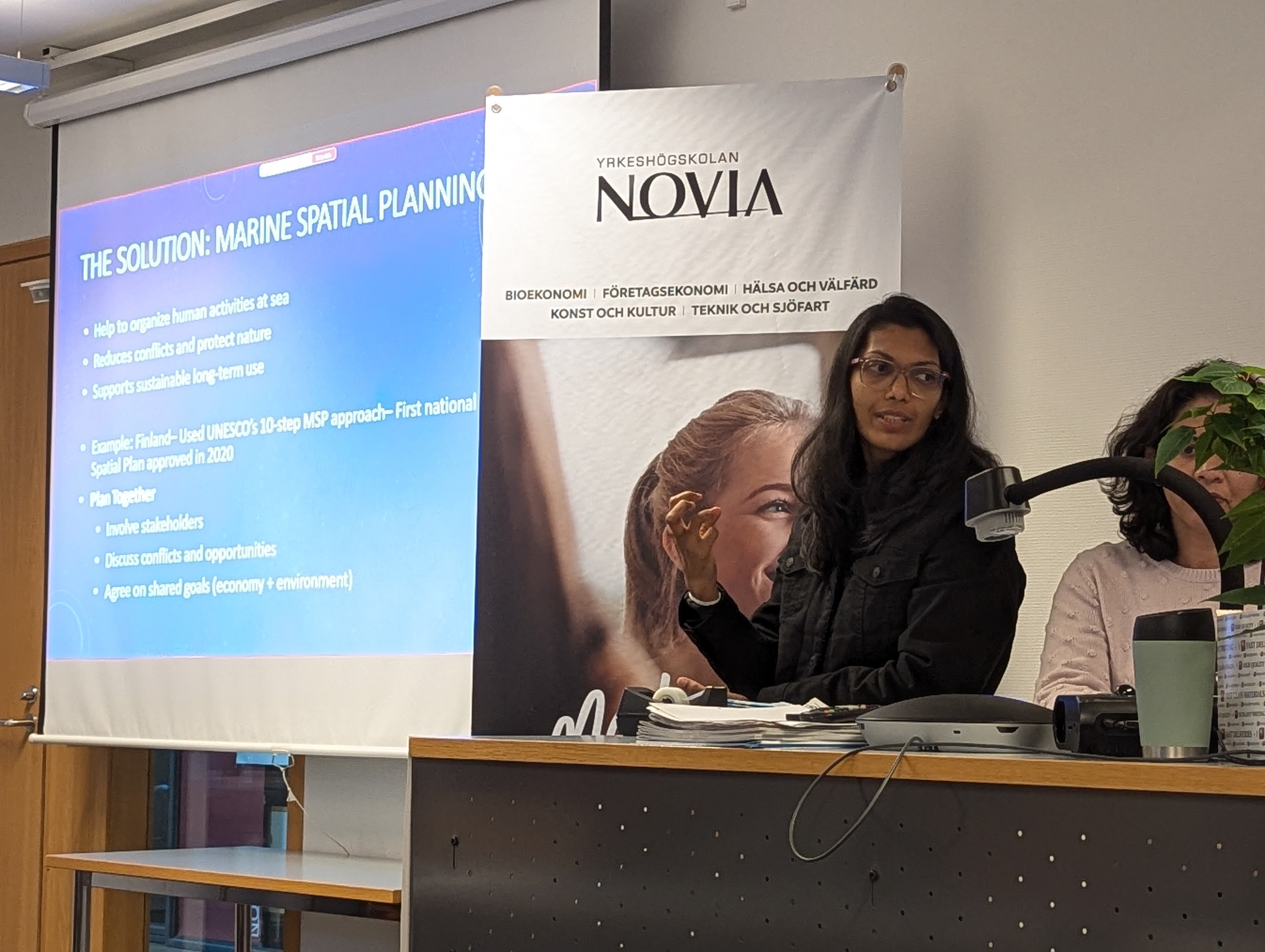
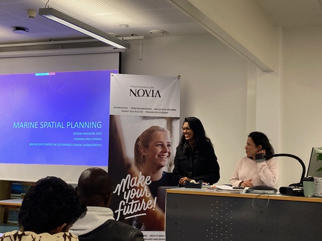
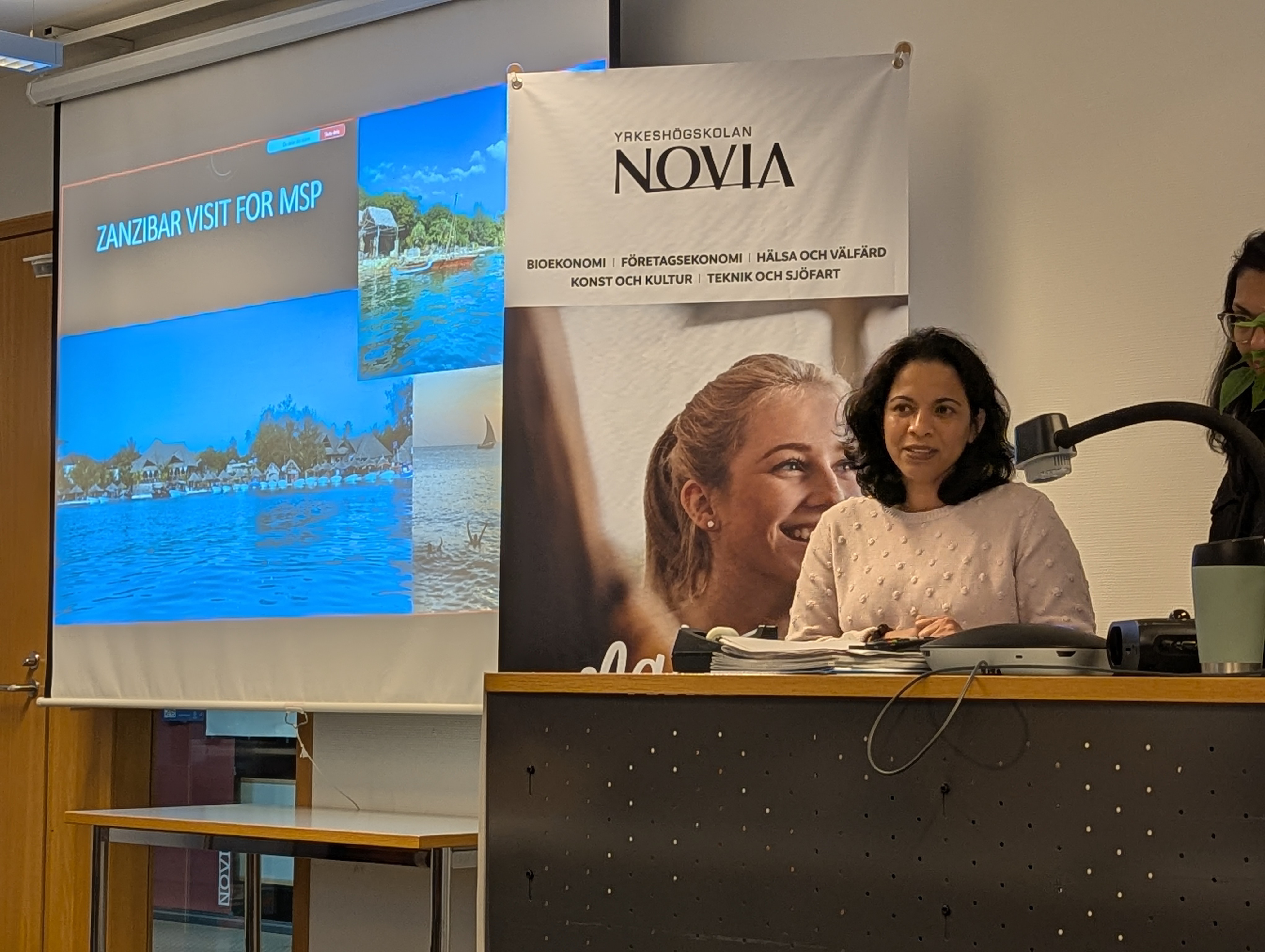
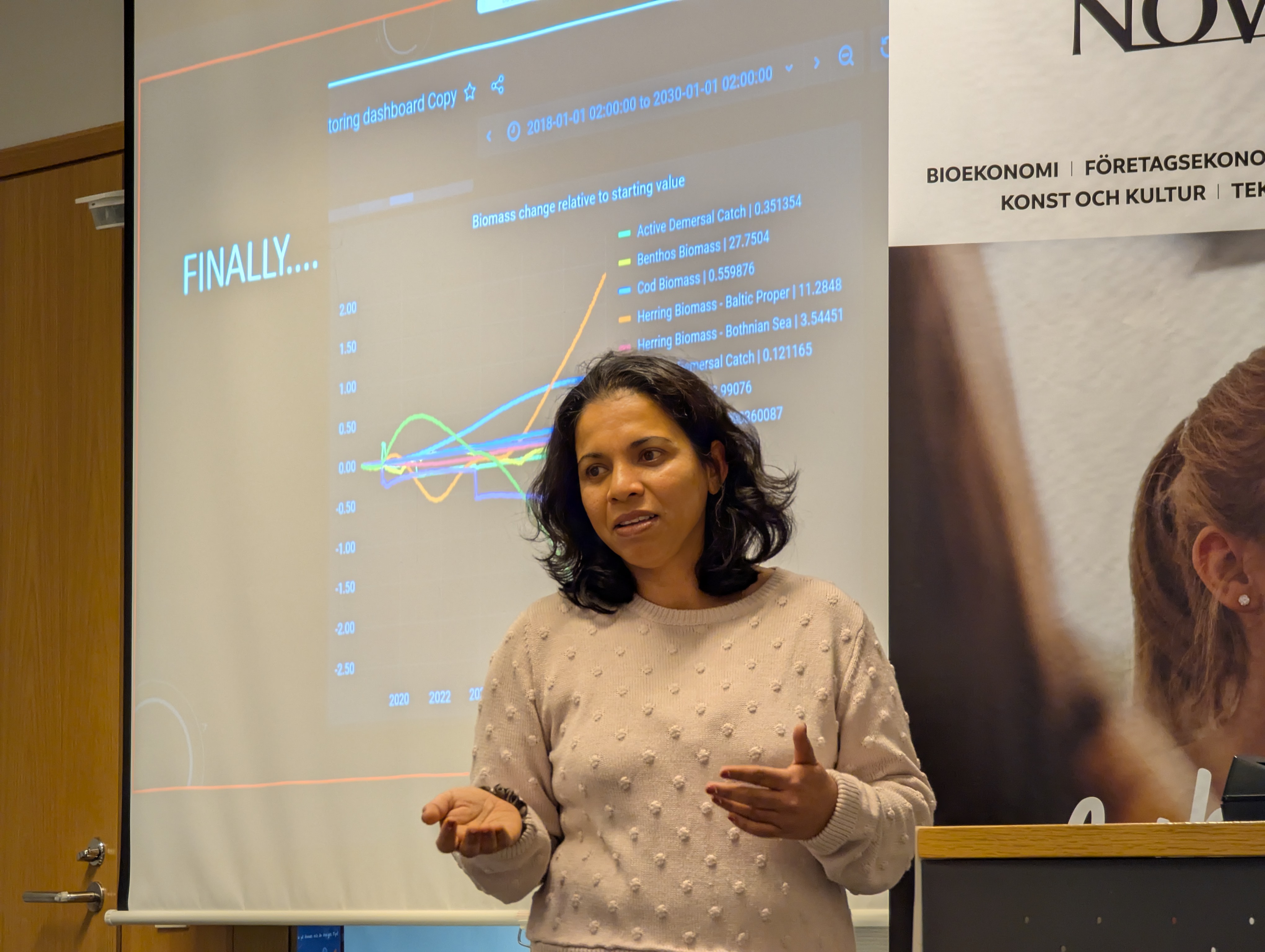
- 13:35 - Marine Spatial Planning - Group of bachelor students in Sustainable Coastal Management
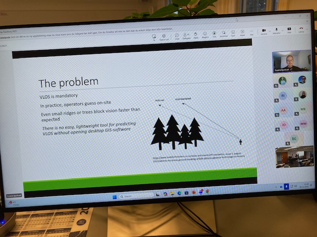
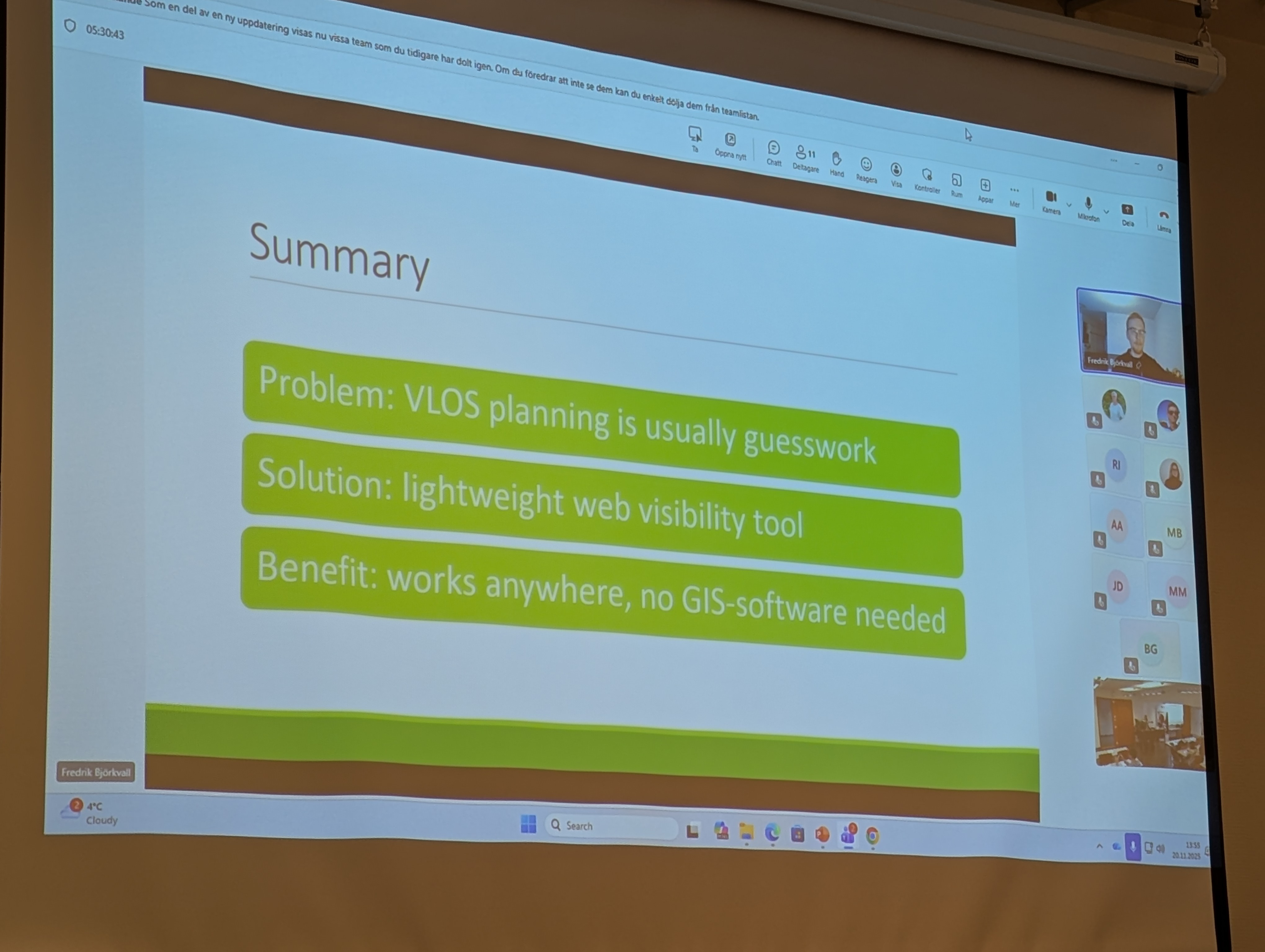
- 13:45 - Fredrik Björkvall - VLOS drone app - Engineer student in Surveying technologies
14:00 - 15:30 Hands-on activities and demos in English and Swedish
- Poster presentations about spatial data in use in our programs
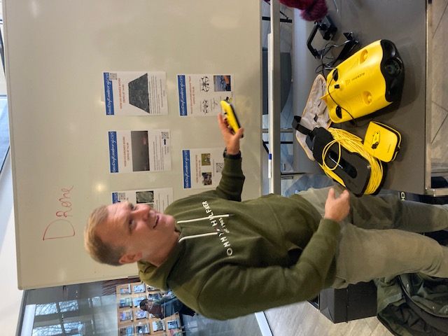
- How to pilot a drone - UAV, USV
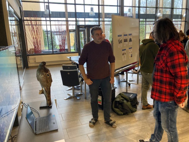
- How to track animals - bird tracker and audiomoths
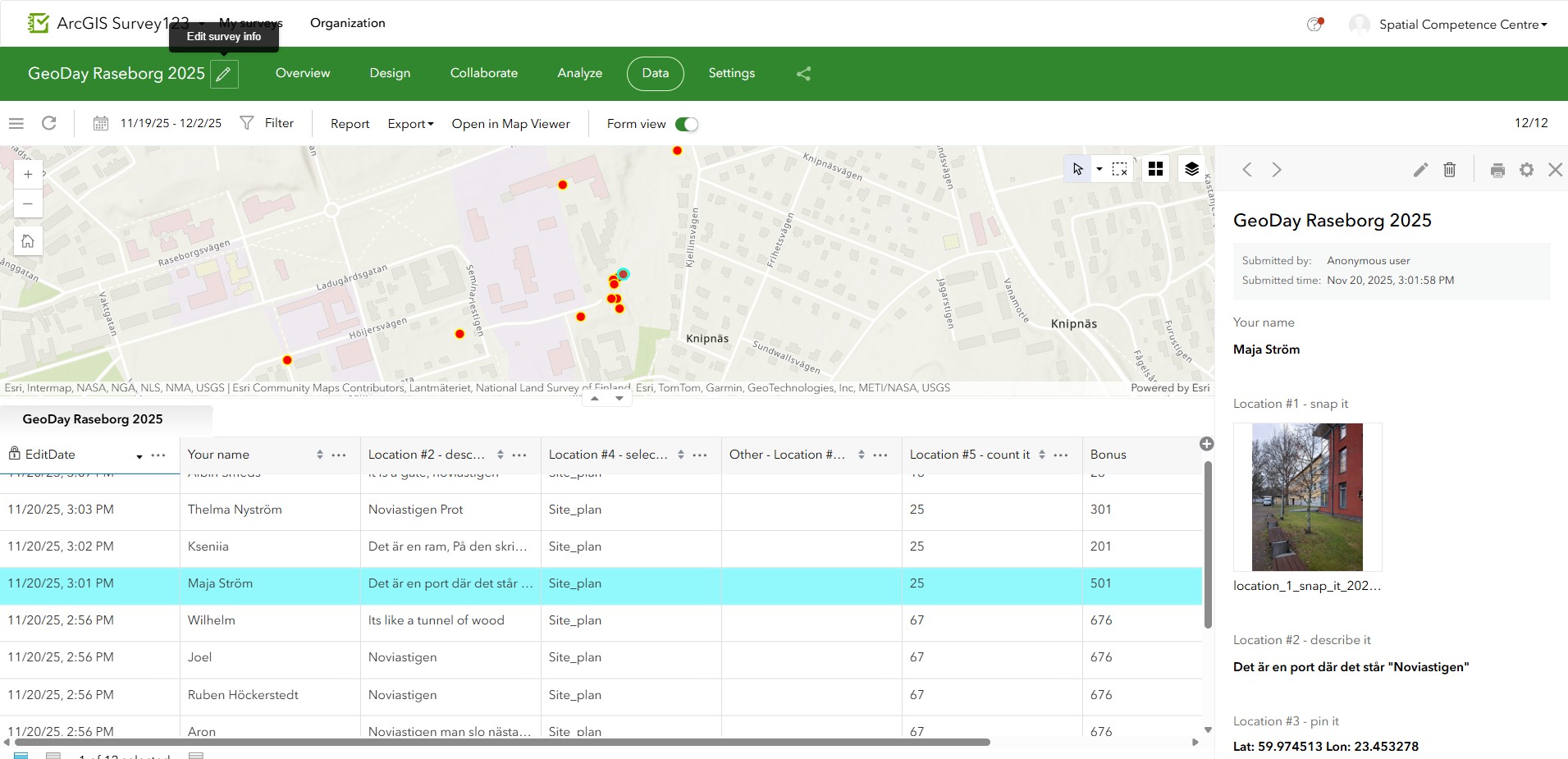
- How to collect data - geocaching and wayfinding with two individual ARCGIS for personal use licences as prize (value 100$)
- Exhibition of old maps from Ekenäs
In a time of accelerated changes, “geography needs to be promoted for sustainability” (Fu, 2020) and resilience – we know it, now you will too.
Registration
Please register using this link to book your spot on site and/or receive the Teams link to the talks
Organizers
Questions or inquiries: Aurelie Noel at scc@novia.fi